 Loading... Please wait...
Projects
Slope Stability
-
Overview
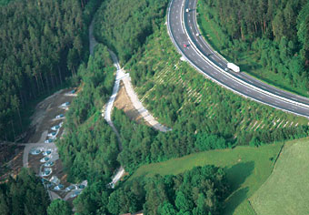
Careful monitoring and examination of slopes for failure warning signs is critical for protecting people and / or facilities down slope. The type of instruments selected for any monitoring program will depend upon the geology of the soil or rock mass and the problems to be monitored but may include Extensometers capable of measuring rock mass displacements, Piezometers for monitoring groundwater parameters, Crackmeters for measuring changes in crack width, and Inclinometers to locate and monitor acceleration (or deceleration) of shear zones.
Case Histories
-
Da Lat Landslide
Da Lat City, Lam Dong Province, Vietnam
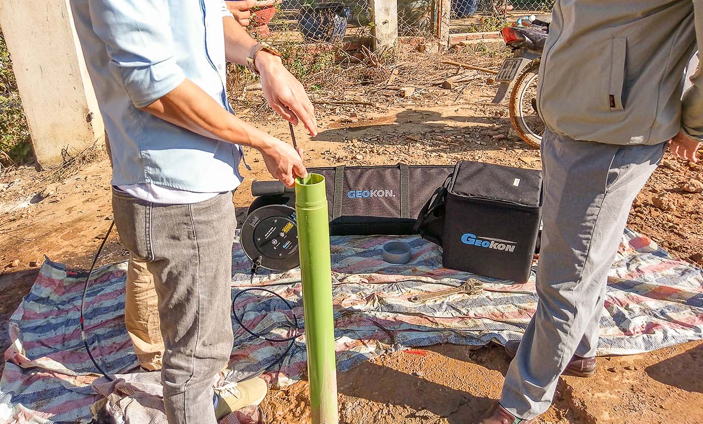
Instrumentation used: Model GK-604D Digital Inclinometer System
Project submitted courtesy of Vietnam Environmental and Geotechnical Instrumentation Joint Stock Company (VEGI JSC), Vietnam.
-
Quang Nam Landslide
Quang Nam Province, Vietnam
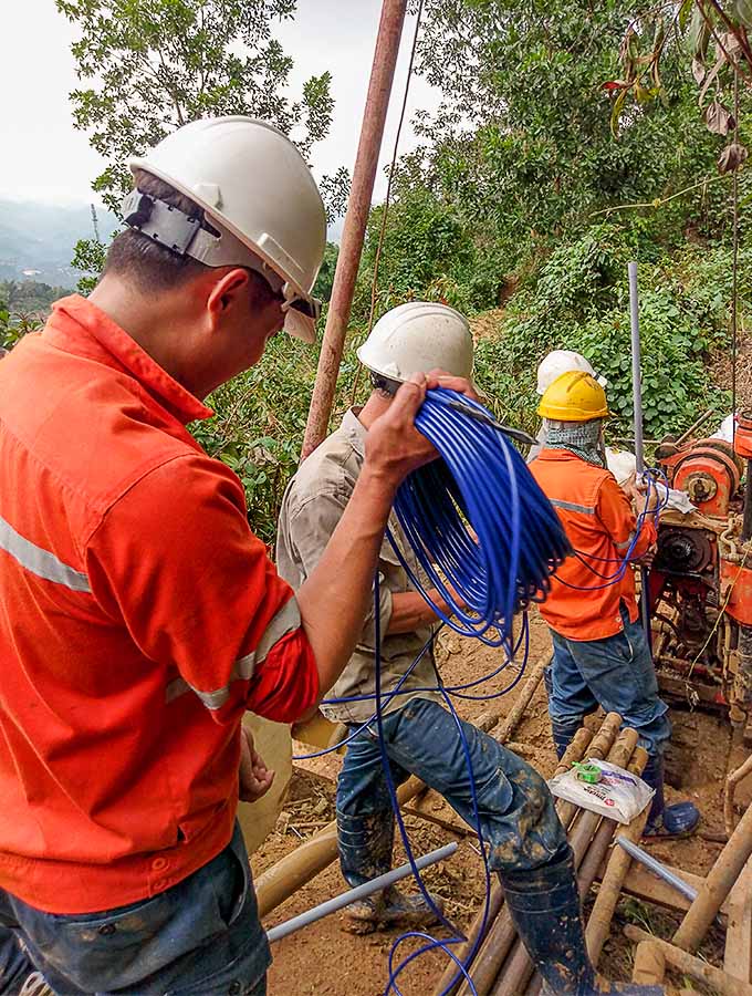
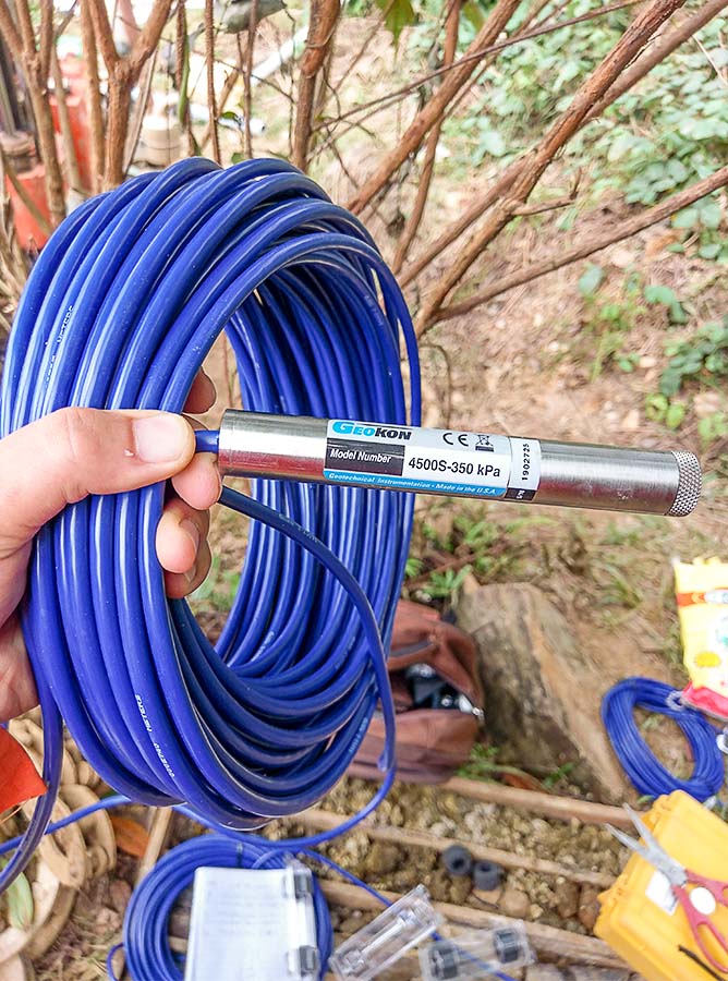
Instrumentation used: Model 4500S Standard Piezometers
Project submitted courtesy of Vietnam Environmental and Geotechnical Instrumentation Joint Stock Company (VEGI JSC), Vietnam.
-
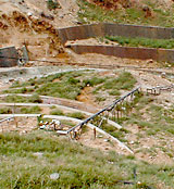
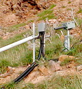
Hakone Volcano
Hakone, Japan
Instability of the slopes around the Hakone Volcano, in Japan, is currently being monitored by an extensive network of vibrating wire instrumentation. Long Range Displacement Transducers survey the movements of the slope, while special Piezometers and Temperature Sensors, designed to withstand the high temperatures and acidic conditions, monitor the temperatures and water levels at depths of up to 50 m. The condition of the nearby water supply tunnel and dike is monitored by a series of Piezometers, Crackmeters and Tiltmeters. The instrumentation is monitored automatically by a special Micro-10 datalogging system designed to operate in the hydrogen sulfide environment that surrounds the area.
For additional information, please contact: Kunihiko Mano | Geosonic, Incorporated
-
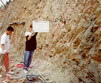
HanNam Road
Seoul, Korea
The excavation for the HanNam Road expansion project was supported by a system of soil nails. The stability and safety of the excavation was monitored using selected nails instrumented with low profile Strain Gauges.
For additional information, please contact:
Young Eok, Kwon | Heung-In E & I Co., Ltd.
-
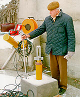
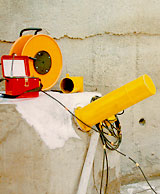
Water Supply System “ISCAR” (WSSI)
Sofia, Bulgaria
WSSI is located about 30 km southeast of Sofia on a steep slope underlain by layers of gneiss and schist, and a widely fluctuating groundwater table.
A comprehensive instrumentation system, comprising Extensometers and Inclinometers, was installed at each of 4 locations to monitor any ground movements that may result from changes in water level in the slope.
Additional instrumentation included Load Cells, to measure loads on adjacent ground anchors, mechanical crackmeters to monitor crack growth on the concrete Machinery Chamber and a rainfall gauging station.
For additional information, please contact: Petko Slavov
Share your Project!
GEOKON would like to share customer projects and success stories with the visitors of our website. If you would like your project summary to be featured on our Recent Projects page, added to our collection of various Projects and promoted on social media, please complete and submit your project for review and consideration. As a token of our appreciation, GEOKON will send you a small gift for your contribution!